
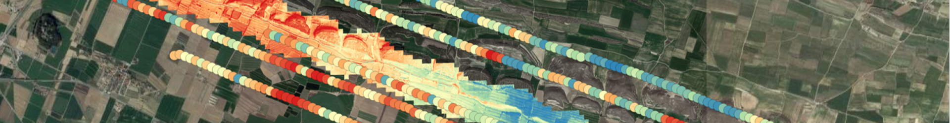
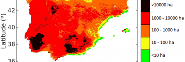
Fire risk index
 Based on SMOS-derived soil moisture (SM) and modelled land surface temperature (LST). Reports the risk of potential fire spread under particular SM/LST conditions. Accuracy: 83%. Maximum error: 40 ha. More information: Chaparro et al. (2016; JSTARS).
Fire occurrences & anticyclones
Satellite soil moisture anomalies detect risk of extraordinary spring/autumn fire seasons in the northwestern Iberian  Peninsula. Dry soils match anticyclone periods and fire outbreaks. More information: Chaparro et al. (2016; EuJRS).